Biodiversity planning and mainstreaming
Western Cape Biodiversity Spatial Plan
The Western Cape Biodiversity Spatial Plan (BSP) is a product of CapeNature and the Department of Environmental Affairs and Development Planning and represents a nationally endorsed approach to conservation planning. The BSP is a spatial tool (a set of maps) identifying priority areas for biodiversity and ecological infrastructure. It is accompanied by a handbook with contextual information and land-use guidelines.
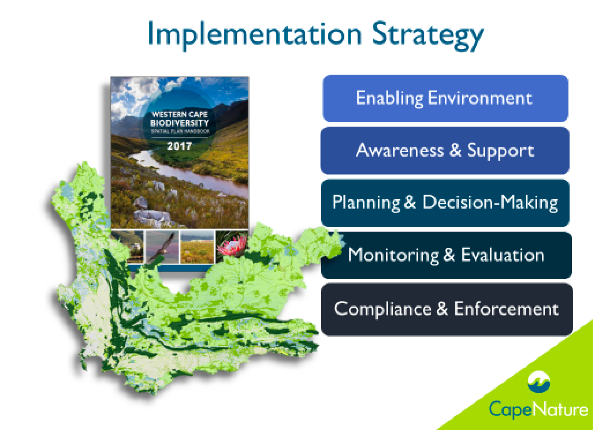
The current BSP was finalised in 2017 and is due to be updated on a five-year rotational cycle. The BSP implementation strategy comprises five key areas:
a) To provide an enabling environment
b) To create awareness about the plan and support for its uptake
c) To facilitate the uptake of the BSP into land-use planning and decision-making
d) Monitoring and evaluation – tracking how well the BSP is taken up into forward planning and how it affects decision-making
e) Compliance and enforcement – supporting the combating of illegal land clearing

