Overview
The Cape Fold Mountains are the most prominent topographic feature of the Western Cape, and form a north-south axis (including the Cederberg, Groot Winterhoek, and Witzenberg mountain ranges) and an east-west axis (including the Langeberg, Riviersonderend, Outeniqua and Swartberg mountain ranges) and converge in the south-west (Boland mountains).
The escarpment, which is further inland and separates the inland plateau from the lower lying coastal areas, is located along the boundary with the Northern Cape.
The primary riversof the Western Cape are the Berg, Breede, Olifants and Gouritz Rivers, and each provide a vital function in terms of the water needs for the various economic sectors in a predominantly arid province. The mountains mentioned above form vital catchmentsfor the rivers, because these regions get elevated rainfall.
The combination of variable topography, resulting in high levels of climatic variation over short distances, variation in altitude, geology and soils, a long history of geological stability and few mass-extinction events (such as ice ages) has resulted in high levels of speciation within the Western Cape, particularly within the Cape Floristic Region and Succulent Karoo biome.
As a result of this, the Cape Floristic Region and Succulent Karoo biome, which occupy most of the province, are global biodiversity hotspots, with exceptional levels of diversity and endemism. The Cape Floristic Region is also one of the six global floral kingdoms and by far the smallest and most diverse.
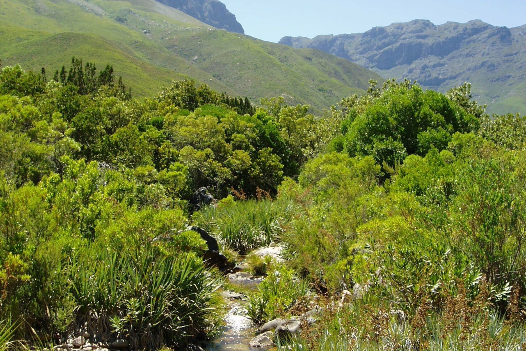
Terrestrial ecosystems
Ecosystems are dynamic complexes of plant, animal and microorganism communities and their non-living environment, interacting as a functional unit. They can be defined at different scales, from a single vegetation unit or community of plants, a cluster of vegetation units and a wetland or group of wetlands to an entire range of mountains. Groups of ecosystems with common bioclimatic characteristics at a landscape scale are called biomes. This province is home to the Cape Floral Kingdom, redefined as the Greater Cape Floristic Region to include the whole winter rainfall area in South Africa (the Cape Floristic Region, or fynbos, and the Succulent Karoo biome).
The Western Cape is home to two (or 6%) of the world’s 34 biodiversity hotspots, five (or 55%) of the nine biomes found in South Africa and 163 (or 37%) of the 435 vegetation units of South Africa.
Biomes
The Western Cape comprises five different biomes: fynbos (making up 79% of the total South African extent of the biome), succulent Karoo (making up 35% of the South African extent), Nama Karoo (making up 11%), Albany thicket (making up 5%) and afrotemperate forest (making up 47%). Marginal outliers of the grassland biome also extend into the Western Cape (0.03%).
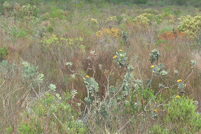
Fynbos biome
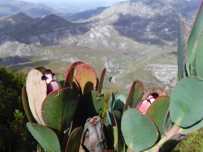
The fynbos biome is the largest biome occurring in the Western Cape, extending along the coastal plain across the Cape Fold Mountains. The Cape Floristic Region includes all vegetation units of the fynbos biome and mostly falls within the winter rainfall region. The fynbos biome comprises three major vegetation complexes based on climatic and edaphic features, namely fynbos, renosterveld and strandveld.
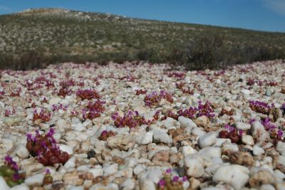
Succulent Karoo biome
The Succulent Karoo biome is located in the more arid parts of the winter rainfall region occupying the northern sections of the West Coast region and the Klein (Little) Karoo in the rain shadow basin between the Swartberg and Outeniqua/Langeberg mountains.
Nama Karoo biome
The Nama Karoo biome occupies the arid north-eastern parts of the province that receive predominantly summer rainfall.
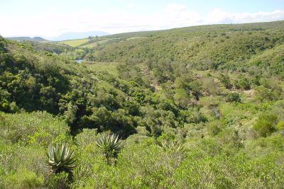
Albany thicket biome
The Albany thicket biome is more characteristic of the Eastern Cape, but also extends into the Western Cape.
Afrotemperate forest biome
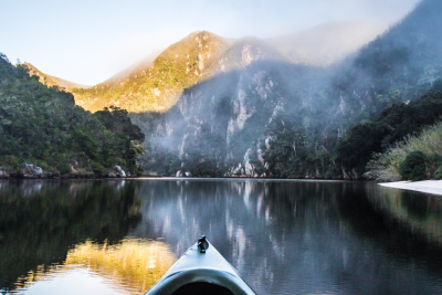
The Afrotemperate forest biome occurs as naturally fragmented patches in the higher rainfall areas that are sheltered from frequent fires, typically in the mountains, with the largest extents occurring along the Garden Route and in Tsitsikamma, often extending onto the coast.
Vegetation units and threatened ecosystems
A vegetation unit is mapped at a scale smaller than a biome, based on vegetation and landscape features, geology and soils, climate and important taxa. Vegetation units provide a good representation of terrestrial biodiversity, because most mammals, birds, insects and other organisms are associated with particular vegetation units. There are 163 vegetation units recognised in the Western Cape. Of these, 104 (64%) are endemic to the province and 19 (12%) are near endemic.
Freshwater ecosystems
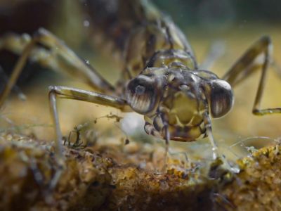
The freshwater ecosystems of the Western Cape consist of watercourses, wetlands and groundwater, and form an important basis for the ecological infrastructure of the province, as water resources are key to the socio-economic development of the Western Cape.
Wetlands and watercourses
The Western Cape comprises more than 300 000ha of mapped wetlands and several river catchments (including seven major catchments within two water management areas). These major catchments also contain six of the country’s strategic water resource areas. Wetlands comprise only 1% of the province’s land cover. The wetland types found in the Western Cape are known to be extremely diverse with their properties driven by varying hydrological patterns, soil structure and seasonality of precipitation.
The wetlands perform a variety of important ecosystem services, particularly with regard to flood attenuation, water purification, drought management and biodiversity conservation. The latter point, in particular, is linked to the high diversity and high degree of endemism found within the fauna, flora and ecosystems associated with the fynbos biome in general.
The diverse range of wetlands types, classified according to their hydrogeomorphic units, include seepage areas in the upper mountain catchments (hillslope and valleyhead seeps), valley bottoms (both unchannelled and channelled), pans (depressions and benches) and floodplain wetlands leading down into the estuaries at the coast.
Rivers
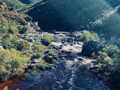
The primary riversof the Western Cape are the Berg, Breede, Olifants and Gouritz rivers. Because of the semi-arid nature of the country and increased water demand linked to population growth and increased development, the Western Cape’s water resources are under serious threat. These resources include the rivers, many of which originate in the mountain catchments, often associated with seeps and other wetland types, contributed to by smaller tributaries and flowing down through the foothills to the lowlands and plains and ultimately into the sea via estuaries. Some of these river catchments are highly productive with regards to water provision, i.e. are high water yield.
Seven important water source areas have been identified and mapped for the Western Cape, including Grootwinterhoek, Table Mountain, the Boland mountains, the Langeberg, Swartberg, Kougaberg and Outeniqua mountains.
Due to regional variation, the rivers of the Western Cape form important habitats for various indigenous fish and other aquatic fauna endemic to the region. There are several pressures that threaten the viability and health of river ecosystems, mostly related to land-use practices and the presence of invasive alien fauna and flora, as well as water quality and over-use of water. The tributaries to the main rivers that are free of alien invasive fish species are now the main refugia for the numerous endemic and indigenous fish species of the Western Cape.
Groundwater
Groundwater plays an important role in terms of the interaction with surface water and associated ecosystems and hence is an important consideration in terms of land-use and water-resource management. In areas indicated to have a high probability of groundwater-surface water interaction, groundwater plays a particularly important role in the ecological functioning of surface water, maintaining river pools that serve as crucial refugia in the low-flow summer months, sustaining river-base flows and maintaining wetlands and riparian vegetation. It is, therefore, particularly important to manage the groundwater resources in these areas. Management activities should include controlling groundwater abstraction, maintaining natural vegetation cover and clearing alien invasive plants.
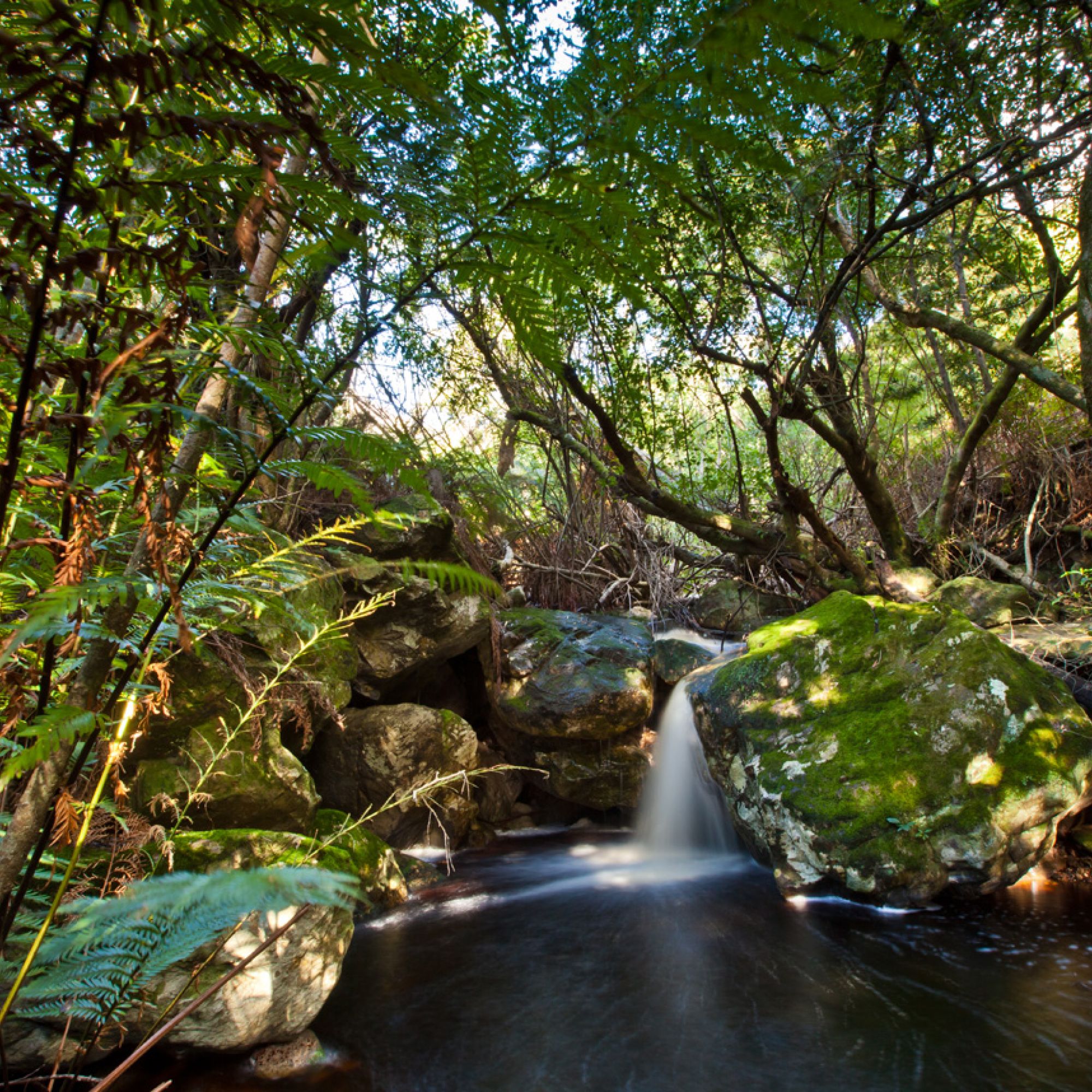
CapeNature protected areas
CapeNature’s protected areas are important for conserving ecosystems and species, as well as for socio-economic upliftment through job-creation opportunities, particularly in rural areas. They serve to protect the ecosystems that deliver important related services to people.
CapeNature manages 16 nature reserve complexes, comprising a total of 659 792ha, which includes 42 739.31ha of marine protected areas. Eleven Protected Area Complex Management Plans have been approved to date, with three new management plans for the Swartberg Nature Reserve Complex, Langeberg Nature Reserve Complex and the Knersvlakte Nature Reserve approved by the CapeNature Board in March 2020. Protected areas managed by CapeNature are of extremely high biodiversity conservation value.
The CapeNature protected area estate, totalling 976 639.98ha, includes CapeNature managed protected areas and formal stewardship sites supported by CapeNature. The Western Cape protected area estate comprises approximately 1 894 570ha, including national parks, local authority nature reserves, mountain catchment areas, protected environments, private nature reserves and marine protected areas.
Protected areas and stewardship success case study: Twee Rivieren Nature Reserve
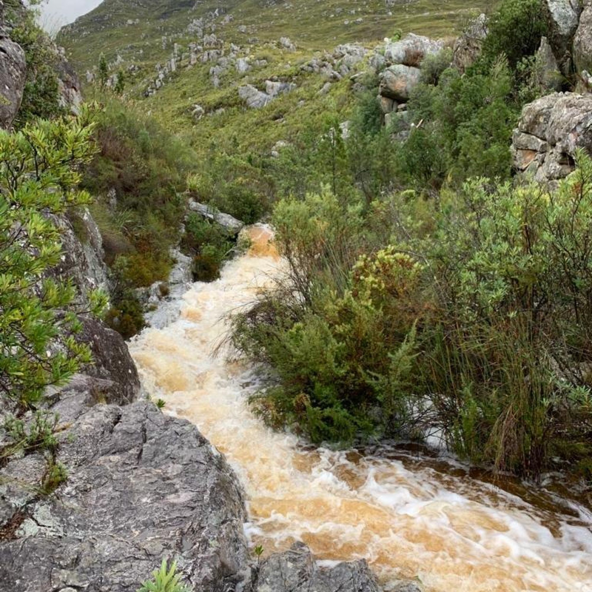
Freshwater and integrated catchment management
Several initiatives have been established to mitigate an increasing negative impact on the freshwater ecosystems in the Western Cape. Concerning the protection of certain ecosystem services provided by freshwater ecosystems for water provision for instance, focus has shifted to improved and informed management and protection of the strategic water source areas for both groundwater and surface water. Paired with this are the projects and initiatives associated with the Greater Cape Town Water Fund (The Nature Conservancy, 2018) and other water fund catchments that are being considered.
These projects, together with more established initiatives, are working on the improvement and integration of freshwater ecosystems management in the Western Cape (e.g. Working for Water and Working for Wetlands and the Berg River Improvement Plan). Work towards clearing the water catchments of invasive alien tree species, as well as the rehabilitation of freshwater ecosystems (Western Cape Government, 2012; Western Cape Government, 2017) has received increased attention.
The Western Cape Government has initiated the development of the Ecological Infrastructure Investment Framework (EIIF), which is being developed by the Council for Scientific and Industrial Research. This framework will enable and inform a collaborative and coordinated partnership between the relevant stakeholders, including CapeNature, the national and provincial government, tertiary academic institutions, as well as non-governmental organisations and the private sector.
Biosphere
CapeNature is supporting the implementation of the Unesco Man and the Biosphere (MAB) Programme in the Western Cape through the designated biosphere reserves. CapeNature continues to serve as a member on the technical committees of the five Western Cape biosphere reserves, including the Cape West Coast, Kogelberg, Cape Winelands, Garden Route and Gouritz Cluster biosphere reserves. CapeNature and the Department of Environmental Affairs and Development Planning support biosphere reserves in fulfilling the Unesco MAB Programme and biosphere reserves requirements, such as developing frameworks and management plans and 10-year periodic reviews.
CapeNature’s Iconic Kogelberg Nature Reserve forms the primary core conservation area of the Kogelberg Biosphere Reserve. Similarly, Jonkershoek, Limietberg and Hottentots Holland Nature Reserves form the core areas of the Cape Winelands Biosphere Reserve; and Swartberg, Kammanassie and Anysberg Nature Reserves form the core areas of the Gouritz Cluster Biosphere Reserve.
Biosphere reserves
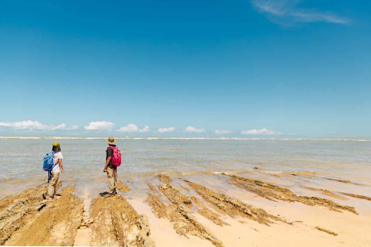
Geelkrans Nature Reserve
Nestled on the eastern side of Stilbaai, Geelkrans Nature Reserve beckons travellers with its breathtaking coastal beauty. Adventurous souls can explore the reserve via coastal hikes, revelling in dynamic sandstone cliffs and extensive intertidal zones. Scenic wooden decks provide perfect spots for picnics and taking in the picturesque views.
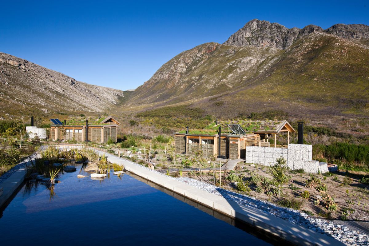
Kogelberg Nature Reserve
Considered by many to be the most beautiful of CapeNature’s protected areas, Kogelberg Nature Reserve earns that reputation largely to the fact that it occupies an area with minimal human interference. Its exceptional diversity and quality of fynbos means it is considered the heart of the Cape Floral Kingdom. The reserve presents perhaps the finest example of mountain fynbos in the Western Cape and is a world-renowned World Heritage Site.
Keurbooms River Nature Reserve
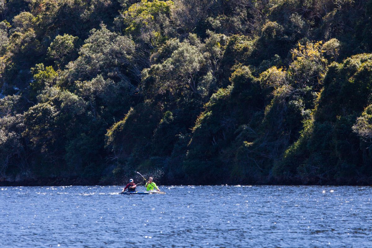
Keurbooms River Nature Reserve, a World Heritage Site, is an exquisite, small reserve of just 740 hectares located in the lush Garden Route region just outside Plettenberg Bay. The Keurbooms River passes through the reserve bringing an abundance of water from further up in the Tsitsikamma Mountains to enter the ocean through the stunning estuary.
