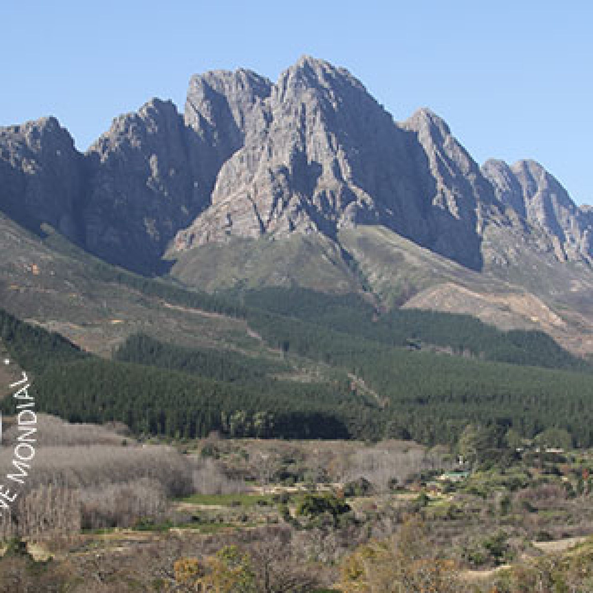
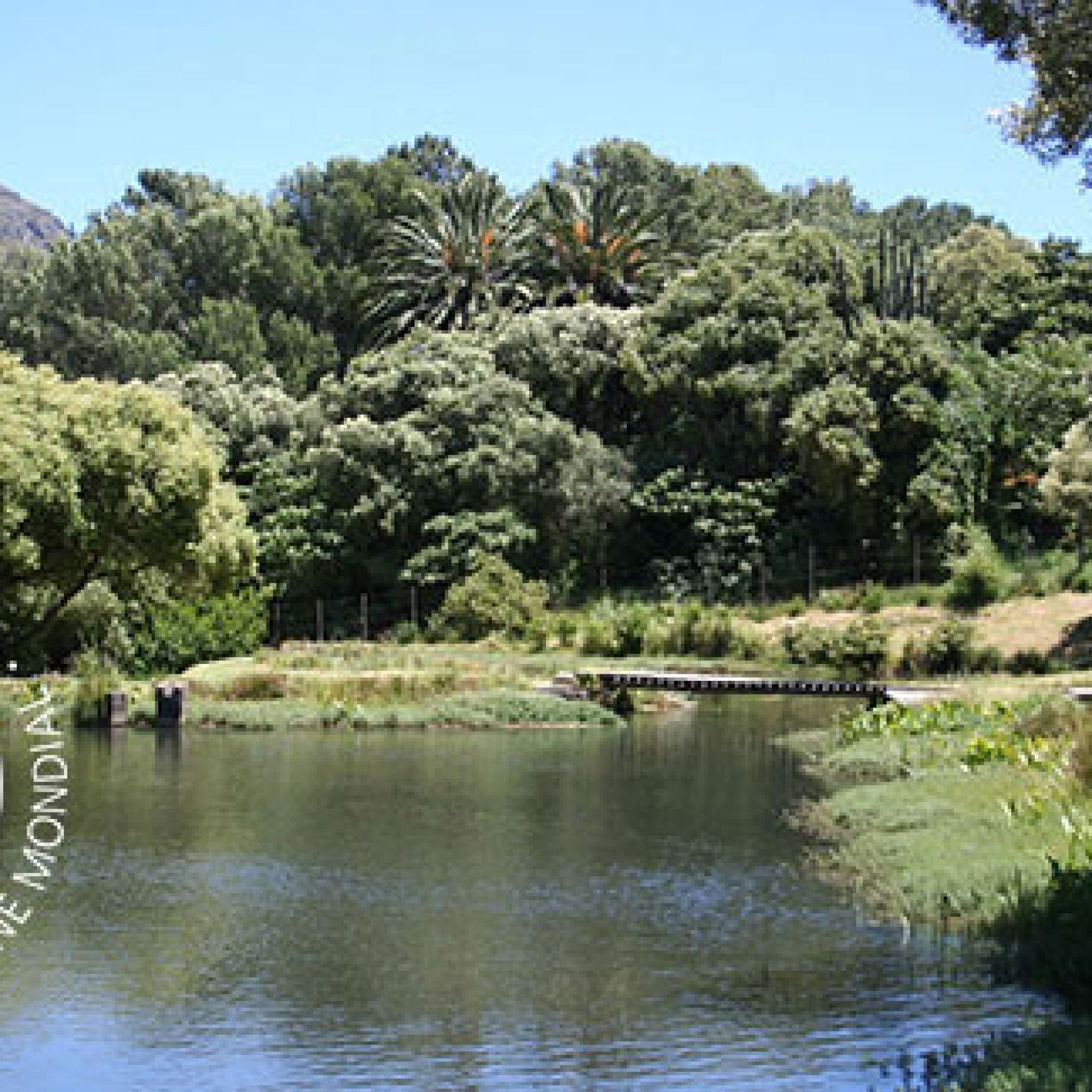
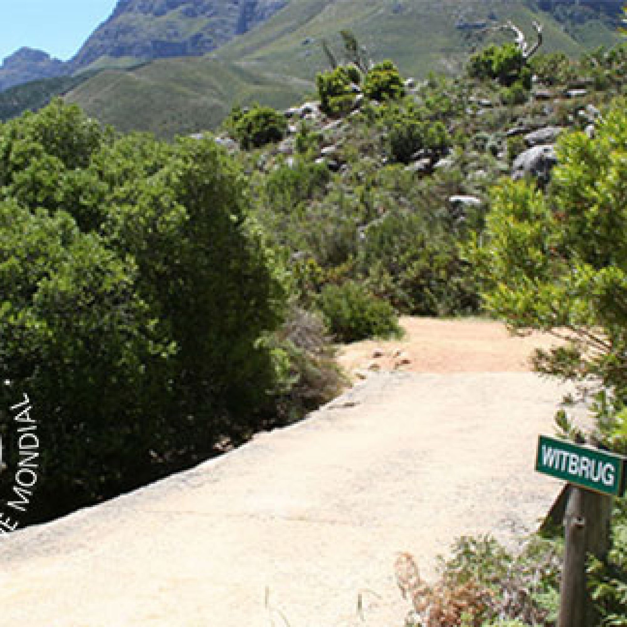
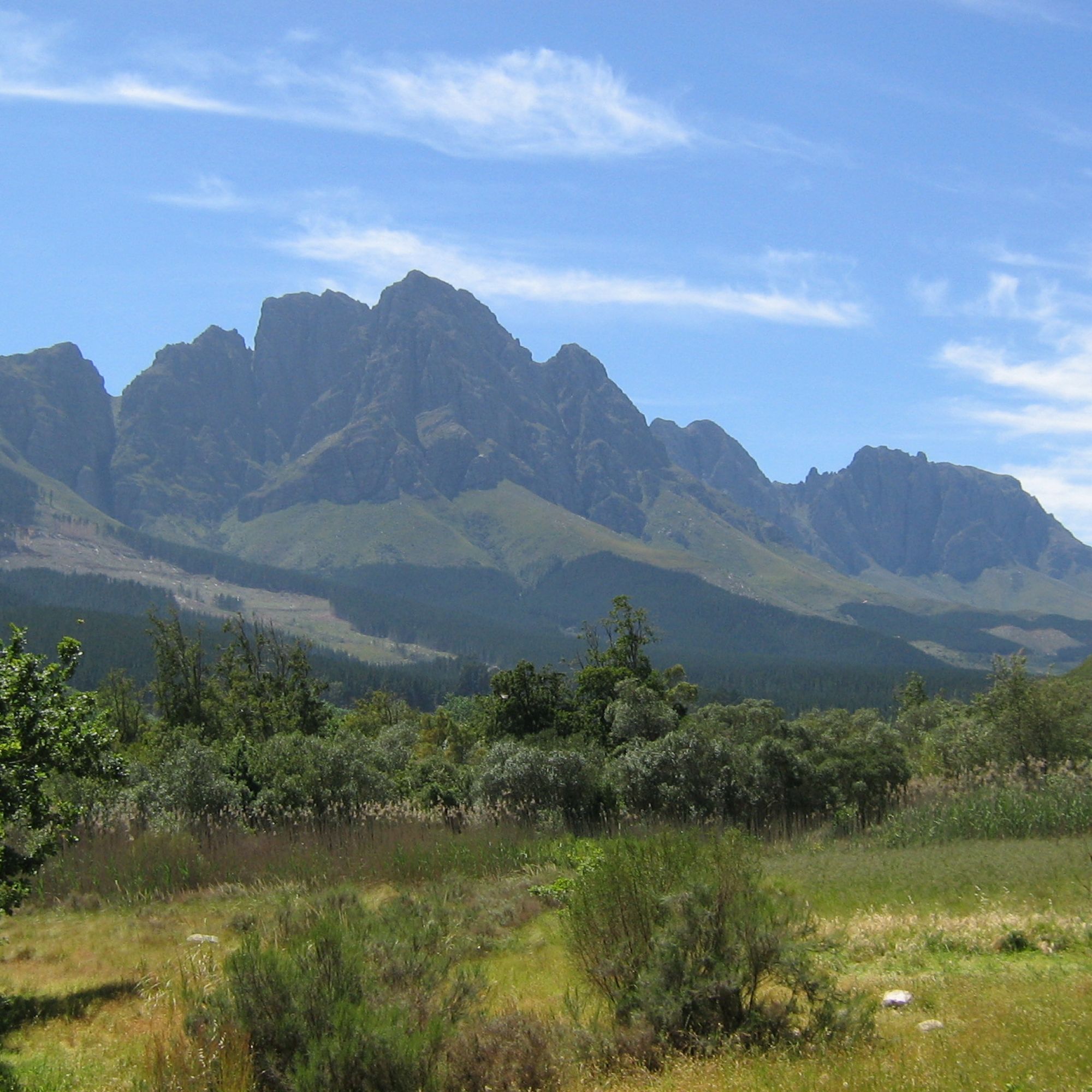
Map of Reserve area
What to Do
There are challenging routes over mountainous terrain, with spectacular scenery, on the adjoining Department of Forestry facility. Please note that there is an extra cost involved for mountain biking at Jonkershoek Nature Reserve, as this section of the land is owned and managed by MTO Forestry.
The circular road is open and 20 cars are allowed in on a first come first serve basis.
Various short walks are available on the reserve. Alternatively, the reserve offers four, more challenging hikes ranging between 5.3km and 18km.
Easy to use trail maps for these hiking trails created by Forge can be downloaded here.
Swartboskloof to Sosyskloof
Trail distance: 5.3km or 6.9km if taking longer route to lookout point.
Estimated time: 2–2.5 hours
This easy, scenic trail ascends the western slopes of Swartboskloof for about 2km, passing through a patch of beautiful indigenous forest. Hikers follow a contour to Sosyskloof, before winding back to the start of the route. Please note the path is slippery when wet.
Swartboskloof Trail
Trail distance: 18km
Estimated time: 6 hours
This trail ascends the steep Swartboskloof, going higher than 900m in altitude over the first 4.5km. Your efforts will be rewarded by breathtaking panoramic views. The route is fairly level after that, as it takes you to the top of Kurktrekkernek. From there, hikers descend 2.5km to a beautiful waterfall. Bring a swimming costume with you.
Panorama Circuit
Trail distance: 17km
Estimated time: 6 hours
This scenic trail has a steep climb to a contour path just below the Banhoek peaks. This path leads to Bergriviernek, which has amazing views of Assegaaiboskloof. Bring a swimming costume with you.
The route winds across the picturesque Dwarsberg plateau, with streams surrounded by disas, to Kurktrekkernek. From here, you can take a short detour to the summit of Guardian Peak (1 227m), which has stunning panoramic views of the Cape Peninsula, from Table Mountain to Cape Point, Robben Island, False Bay, Cape Hangklip, and the peaks of the Hottentots Holland range. From Kurktrekker, the path descends past Tweede and Eerste Waterval, back to the starting point. Please note the path is slippery when wet.
Tweede Waterval
Trail distance: 6.4km
Estimated time: 2 hours
This is an easy ramble along the Eerste River, past Eerste Waterval, followed by a steep climb along a gorge to the foot of Tweede Waterval. Please note the path is slippery when wet. Bring a swimming costume with you.
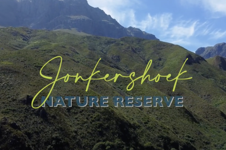
This nature reserve is home to the majestic Jonkershoek Mountains and parts of the Jonkershoek valley. The reserve, which includes the smaller Assegaaibosch Nature Reserve, lies near the town of Stellenbosch in the south-western Cape. Visitors may choose to explore one or both reserves, as they are in easy reach of each other. The reserves are about 9km from Stellenbosch, on the Jonkershoek valley road.
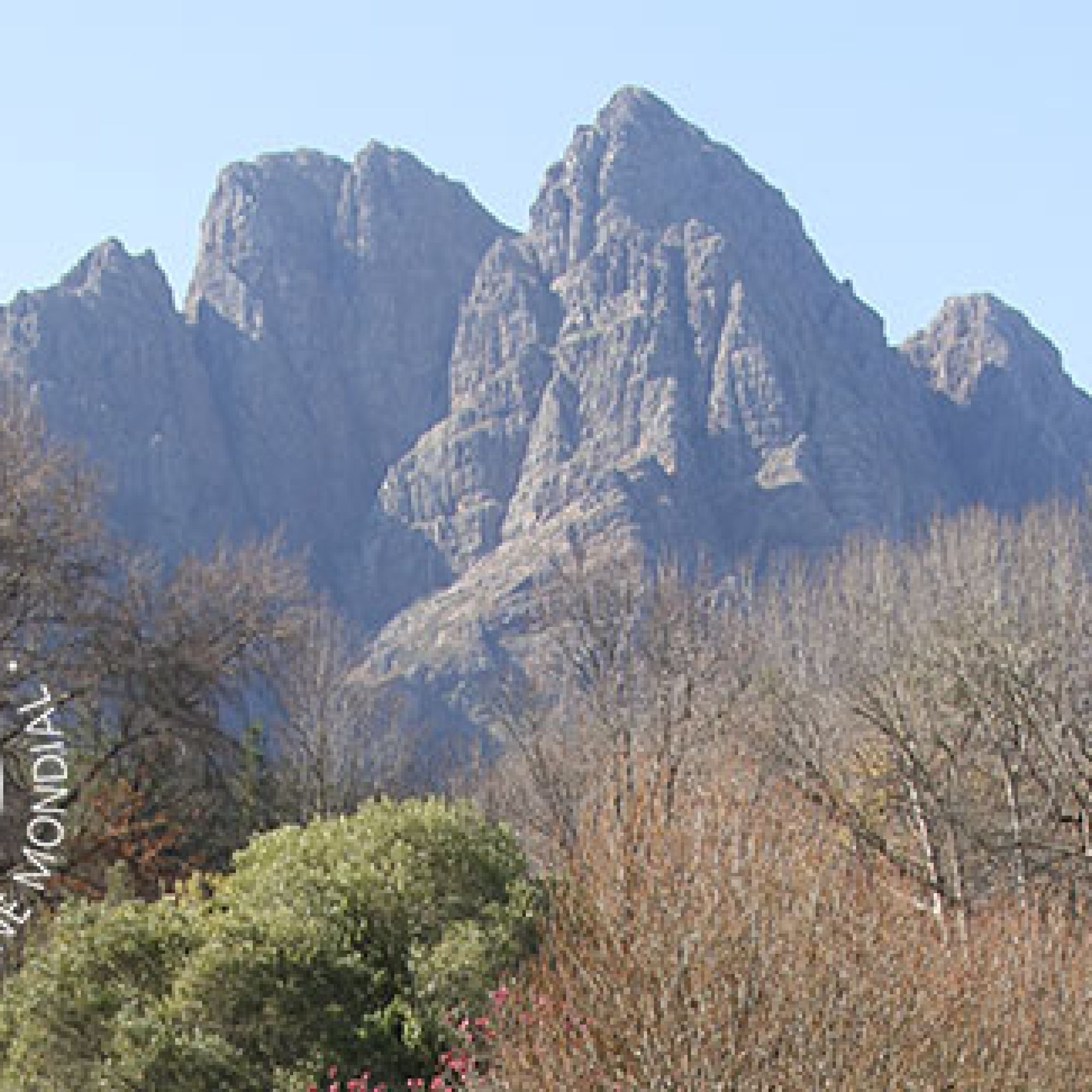
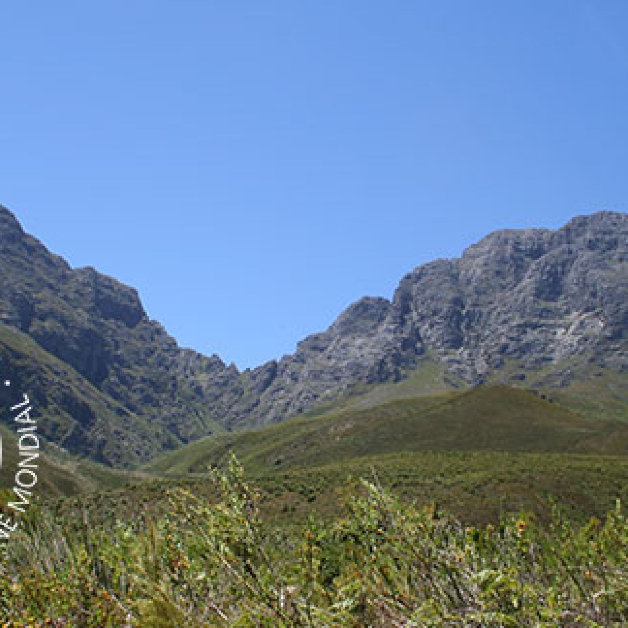
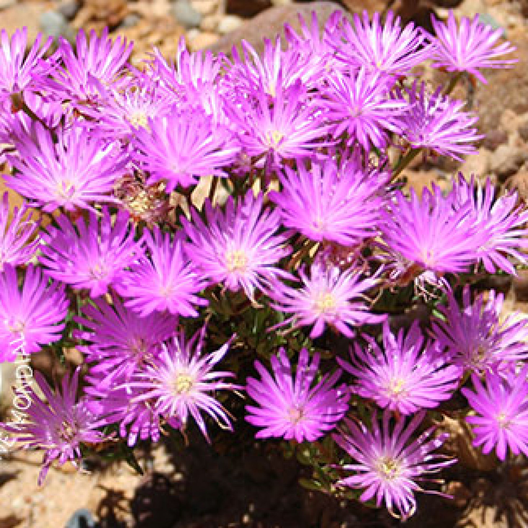
The rugged Jonkershoek Mountains, which form part of the Boland Mountains, are ideal for hiking enthusiasts. The Eerste, Berg, Lourens and Riviersonderend rivers all start high in these mountains, although only the Eerste River actually flows through the Jonkershoek valley. The area is also rich in animal and plant life, with over 1 100 plant species and a variety of small mammals, birds and reptiles. Hikers should be on the lookout for berg adders, puff adders, boomslang and Cape cobras.
The reserve is about 9 800 hectares, while Assegaaibosch is about 204 hectares. The smaller reserve is home to the historical Assegaaibosch farmstead, a national monument built in 1792, while both reserves are World Heritage Sites.
Jonkershoek is hot in summer, and cold and wet in winter. Visitors in the colder months may even see snow dusting the higher mountain peaks. Hikers should note that weather conditions can change rapidly.
To find out more, download the Jonkershoek Map & Brochure below.
How to get there
From Cape Town: Take the N2 highway out of Cape Town towards Stellenbosch. Take exit 33 for Baden Powell Drive towards the R310/Stellenbosch/Macassar. Turn right onto Polkadraai Road/R310 and follow the road. It becomes Adam Tas Street. Turn right onto Langstraat-Suid Road and continue onto Helshoogte Road. Turn right onto Simonsberg Road and at the roundabout take the first exit onto Martinson Road. Continue onto Jonkershoek Road and follow the signs until your reach the reserve entrance.
GPS: 33 57 48.70 S 18 55 31.98 E
Opening times:
Winter: (1 May – 31 August) Includes May, Jun, Jul, Aug:
08:00 – 16:00.
Summer: (1 September - 30 April) Includes Sept, Oct, Nov, Dec, Jan, Feb, Mar, Apr:
07:00 – 16:00
Gates Close:
18:00 (everyone is expected to have exited by then).
Hiking trails have daily cut-off times to ensure that clients can access, safely hike and exit on time.
- Waterval 1 and 2: No access after 14:00
- Swartboskloof and Panorama: No access after 10:00
- Sosyskloof: No access after 12:00
- Exit: 18:00
Office number: 087 087 4118
Permits can be pre-purchased for the Jonkershoek hiking trails via the MTO website or at the MTO gate on the day.
Explore the great outdoors with our affordable hiking packages starting from just R40 per day.
Adults
R60
Children
R40
Jonkershoek Nature Reserve Filming
There are various filming options in the Jonkershoek Nature Reserve, including:
- 10 km circular gravel road to the valley
- Assegaaibosch River
- Picnic Area

